What’s so Special about Spatial?
Glen Hart • Catherine Dolbear
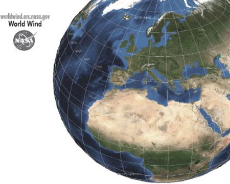
Geospatial information can act as a thread that can be used to integrate information from heterogeneous sources. It does so by exploiting common location information components that often exist across different domains. As such it has the potential to be a valuable resource in the implementation of the Semantic Web. This chapter examines the challenges of adding a geospatial component to the Web, with particular reference to doing so in a way that also supports the current initiatives to semantically enable the Web. It identifies those that are largely peculiar to geography and those that, whilst issues within geography, are also likely to occur in many other domains.


The Geospatial Web ▪ Copyright 2007 Springer ▪ ISBN: 1-84628-826-6


